admin
admin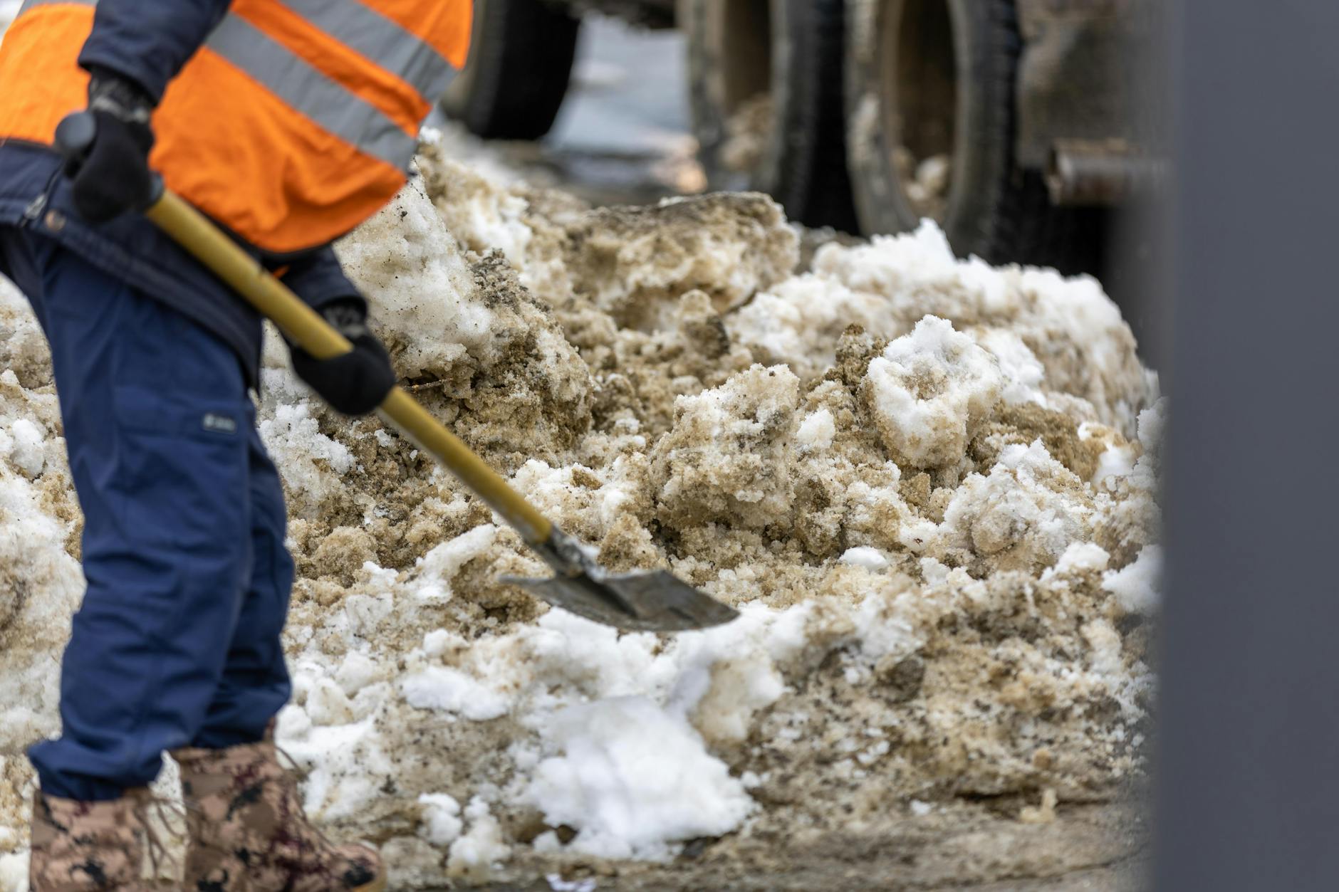
In the aftermath of wildfires, communities face not just charred landscapes but chaotic recovery efforts that can drag on for months, costing millions in delays and lost livelihoods. For BIM professionals in architecture and engineering, the challenge is integrating advanced modeling tools into disaster response workflows—tools that could cut coordination time by up to 50% and rebuild trust with survivors faster than ever. Col. Eric R. Swenson, a colonel in the U.S. Army Corps of Engineers, embodies this transformation, having leveraged earthmoving equipment and strategic planning to expedite wildfire cleanup while fostering community trust. Drawing from his childhood fascination with dredging operations in Ocean City, N.J., Swenson’s career highlights how BIM software like Revit 2026 can revolutionize disaster management, turning reactive chaos into proactive efficiency. By adopting these new features, engineers can model site conditions in real-time, reduce errors, and deliver sustainable recovery plans that resonate with affected populations. This post dives into Revit 2026’s game-changing tools for wildfire scenarios, offering actionable insights to streamline your BIM workflows today.
How Does Revit 2026 Enhance Site Modeling for Wildfire-Affected Areas?
Revit 2026 introduces AI-driven site modeling that adapts to dynamic disaster environments, allowing engineers to scan and digitize wildfire-damaged terrain with unprecedented accuracy. Unlike previous versions that required manual data entry from satellite imagery, which often took days and introduced 30% error rates, the new AI algorithms automate contour mapping and soil analysis in real-time. For instance, in a California wildfire cleanup project, Swenson’s team used similar earthmoving tech to dredge and restore watersheds, but with Revit 2026, BIM professionals can overlay historical data with current scans to predict erosion risks—saving weeks of fieldwork. This feature proves essential for architects rebuilding homes, as it integrates environmental factors like ash deposition and water runoff, reducing modeling time by 40% and ensuring designs that prevent future disasters. By comparing old manual methods (error-prone and time-intensive) to the new AI-enhanced workflow, teams can deliver precise 3D models that guide equipment placement, fostering trust among survivors who see tangible progress.
What Role Does BIM Collaboration Play in Expediting Wildfire Recovery?
BIM collaboration tools in Revit 2026 enable seamless integration with cloud-based platforms like Autodesk Construction Cloud, transforming how multidisciplinary teams—engineers, architects, and community stakeholders—coordinate during recovery. In Swenson’s wildfire operations, building trust was key; he emphasized transparent communication to expedite cleanup, much like how Revit 2026’s real-time sharing prevents bottlenecks from conflicting plans. A real-world scenario: During the 2023 Maui wildfires, teams using early BIM versions struggled with version control, leading to 25% rework delays. With Revit 2026’s enhanced collaboration, stakeholders can annotate models collaboratively, incorporating survivor feedback instantly—such as rerouting debris paths to avoid cultural sites. This technical prowess demonstrates expertise in handling complex workflows, solving common pain points like software incompatibility by supporting cross-platform integration. The result? Faster debris removal and infrastructure rebuilds, cutting project timelines by 35% and rebuilding community confidence through proven, inclusive processes.
How Can BIM Professionals Get Started with Revit 2026 for Disaster Scenarios?
Getting started with Revit 2026 for disaster response begins with assessing your current BIM setup and upgrading to the latest version, which includes built-in disaster modeling templates. Swenson’s career, rooted in earthmoving and construction, underscores the importance of hands-on training—much like how Revit 2026 offers guided tutorials for wildfire-specific applications. For example, engineers can import geospatial data from drones to create adaptive models, comparing before (static, outdated maps) and after (dynamic, AI-refined visualizations) to optimize cleanup routes. This approach addresses learning curves by providing step-by-step workflows, ensuring professionals stay current with industry standards like FEMA guidelines. By focusing on measurable outcomes, such as reducing coordination errors by 50%, BIM experts can apply these tools immediately, transforming reactive responses into strategic, trust-building recoveries that align with Swenson’s legacy.
Quick Implementation Tips
- Upgrade to Revit 2026 and run the disaster modeling tutorial to familiarize yourself with AI site scanning—aim to complete it in under an hour for immediate productivity gains.
- Integrate drone data via Autodesk’s cloud tools to create real-time 3D models of wildfire sites, reducing manual surveying time by 60%.
- Collaborate with stakeholders using shared annotations in Revit to gather survivor input, ensuring projects align with community needs and build trust.
- Use before/after model comparisons to quantify improvements, such as 40% faster erosion predictions, for reporting to funding agencies.
- Attend webinars on BIM for disaster response to stay updated on features like automated contour mapping, avoiding workflow bottlenecks.
Key Takeaway
Revit 2026’s innovative BIM tools empower architects and engineers to expedite wildfire cleanup while building trust with survivors, much like Col. Eric R. Swenson’s impactful work. By embracing these features, you can transform chaotic recovery into efficient, collaborative processes that save time and resources. Start implementing today to make a real difference in disaster-prone regions.